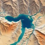
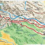
Are you looking to gain a deeper understanding of the Bible and its historical context? Look no further than biblical maps! These interactive and accurate maps offer valuable insights into the geographical layout of biblical lands and help bring the stories of the Bible to life.
Whether you’re studying biblical geography, exploring the ancient land of the Bible, or seeking a comprehensive Bible atlas, interactive bible maps are an indispensable resource. They provide a visual tool to navigate the journeys, locations, and historical backgrounds of biblical times.
Key Takeaways:
- Biblical maps are a vital resource for Bible study, offering insight into the journeys, locations, and lands of biblical times.
- Interactive bible maps provide a visual tool to enhance your understanding of the Bible’s geographical context.
- Accurate and historical bible maps can be found in products such as study Bibles, Bible surveys, and Bible atlases.
- Using high-quality bible maps can significantly enrich your Bible study experience.
- Explore the ancient biblical cities and immerse yourself in the world of the Bible with biblical cartography resources.
Types of Bible Map Products
When it comes to Bible maps, there are various products available that cater to different needs and preferences. Whether you’re looking for a quick reference or a comprehensive visual guide, these different types of Bible map resources offer a range of quality and detail.
1. The Back of Your Bible
Many Bible editions include maps at the back of the book. These maps typically provide a general overview of the biblical lands and major cities. While they may be convenient for a quick glance, they often lack detailed information and clarity.
2. Commentaries
Commentaries, which offer explanations and interpretations of the Bible, often include maps to provide additional geographical context. These maps may be more detailed and specific to certain passages or events, offering a deeper understanding of the biblical narrative.
3. Study Bibles
Study Bibles are designed to provide comprehensive tools for Bible study, including maps. These maps are usually accompanied by explanatory notes, historical information, and cross-references, allowing for a more in-depth exploration of the biblical locations.
4. Bible Surveys
Bible surveys provide an overview of the entire Bible, including maps that highlight key locations and journeys. They are a popular resource for those seeking a broad understanding of the biblical narrative and its geographical context.
5. Books of Maps and Charts
Books dedicated solely to Bible maps and charts offer a wealth of information and visuals. These resources often provide a wide range of maps, including historical and thematic maps, allowing for a comprehensive exploration of the biblical world.
6. Bible Atlases
Bible atlases are specialized resources that focus specifically on biblical geography. These atlases feature detailed maps, archaeological findings, and explanatory texts, offering a comprehensive and immersive experience in understanding the geographical context of the Bible.
“Bible maps in different formats cater to various study needs, from general references to comprehensive explorations.”
No matter which type of Bible map product you choose, it’s important to consider the level of detail and quality that aligns with your specific study needs. High-quality maps can greatly enhance your understanding of the biblical narrative and provide valuable insight into the geographical context of the Bible.
Reasons to Use Bible Maps
When it comes to studying the Bible, using Bible maps can greatly enhance your understanding of the biblical narrative. Bible maps serve various purposes and provide valuable geographical and background information that enriches your study experience.
- Determining distances between locations: Bible maps can help you visualize the distances between different biblical locations, giving you a better sense of the scale of journeys and travels mentioned in the Bible.
- Understanding topography and its influence: By studying Bible maps, you can gain insight into the topographical features of the land and how they influenced biblical events. Understanding the terrain adds depth to your comprehension of the challenges and circumstances faced by biblical figures.
- Identifying borders between nations: Bible maps can help you identify the borders between nations mentioned in the Bible. This knowledge allows you to better understand geopolitical dynamics and the interactions between different regions.
- Visualizing the routes and travels of biblical figures: Bible maps provide a visual representation of the routes taken by various biblical figures. This visualization helps you follow their journeys and gain a deeper appreciation for the geographical context of their stories.
By utilizing Bible maps in your study, you can enhance your understanding of the Bible and gain a broader perspective on the events and stories contained within it.
Using Bible maps is not just about finding places on a map. It’s about delving deeper into the geographical context of the biblical narrative. The visualization and contextual information provided by Bible maps can make your study experience more comprehensive and meaningful.
Bible Maps Recommendations
When it comes to Bible maps, not all products are created equal. To enhance your Bible study experience, it’s essential to choose high-quality and accurate resources. Here are some recommended Bible map products that have garnered praise for their precision and comprehensive content:
1. ESV Study Bible
The ESV Study Bible is a highly regarded resource that offers a wide range of high-quality maps throughout its text. These maps provide detailed visual representations of the biblical lands and journeys, enriching your understanding of the narrative. With its accurate depictions and comprehensive coverage, the ESV Study Bible is an excellent choice for those seeking reliable Bible maps.
2. ESV Bible Atlas
For a comprehensive overview of biblical geography and background information, the ESV Bible Atlas is a top recommendation. This resource combines detailed maps with insightful commentary, providing a deeper understanding of the geographical context surrounding the biblical narrative. With its wealth of information and visually appealing maps, the ESV Bible Atlas is an invaluable tool for Bible study.
3. Rose Publishing
Rose Publishing is known for producing high-quality Bible maps and charts. Their resources offer accurate depictions of biblical locations, helping readers visualize the journeys and events described in the Bible. Whether you’re looking for maps that cover specific books of the Bible or explorations of biblical history, Rose Publishing provides a range of reliable options.
By utilizing these recommended resources, you can enhance your Bible study with high-quality, accurate, and visually appealing maps. These resources offer valuable insights into the geographical context of the biblical narrative, bringing the stories to life and deepening your understanding of Scripture.
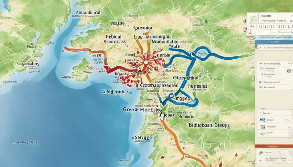
About Bible Geography
Bible geography plays a crucial role in understanding the geographical terrain of the ancient world described in the Bible. It provides insights into the three-dimensional nature of the land, including valleys, mountains, and other topographical features. By studying Bible geography, we can gain a clearer visualization of how biblical characters navigated the terrain and appreciate the significance of locations mentioned in the Bible.
One fascinating aspect of Bible geography is the exploration of three-dimensional maps. These maps go beyond traditional flat representations and provide a more immersive understanding of the biblical topography. They enable us to see the land from different angles and perspectives, adding depth and authenticity to our visualization.
| Key Elements of Bible Geography | Benefits |
|---|---|
| Valleys, Mountains, and Other Topographical Features | Enhanced visualization of biblical journeys and events |
| Landscapes and Scenic Routes | Deeper appreciation of the natural beauty and challenges faced by biblical figures |
| Water Bodies and Coastal Regions | Understanding the significance of rivers, lakes, seas, and their role in biblical narratives |
The geographical context of the Bible adds depth and richness to our understanding of the biblical narrative. It helps us visualize the challenges faced by biblical figures in their journeys, appreciate the natural beauty of the land, and grasp the significance of specific locations in biblical events. Bible geography brings the text to life, enabling us to experience the stories in a more tangible way.
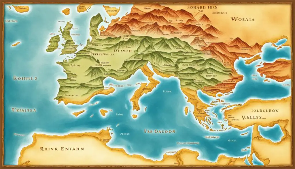
By exploring the geographical terrain of the ancient world through Bible geography, we can immerse ourselves in the context of the biblical narrative, gaining a deeper understanding of the historical and cultural significance of the scriptures.
Archeology and Bible Maps
Archeology plays a crucial role in creating accurate Bible maps. Through the use of archeological precision, maps can be created that provide a detailed and authentic representation of biblical locations. By incorporating archeological findings, such as Bible-based satellite imagery and GPS locating, these maps offer accurate city locations and validate the historical accuracy of the Bible.
Archeological interpretation further enhances our understanding of the biblical narrative. It allows us to associate archeological site names with their correct Bible names, providing valuable insights into the context and significance of biblical events. The careful analysis of archeological evidence ensures that Bible maps have a solid foundation rooted in historical and geographical reality.
To illustrate the connection between archeology and Bible maps, consider the excavations at sites like Bethsaida, Jericho, and Jerusalem. These archeological discoveries shed light on the layout and history of these cities, aligning with the information provided in the Bible. It is through the collaboration of archeologists and experts in biblical geography that we can create maps that accurately depict the world of the Bible.
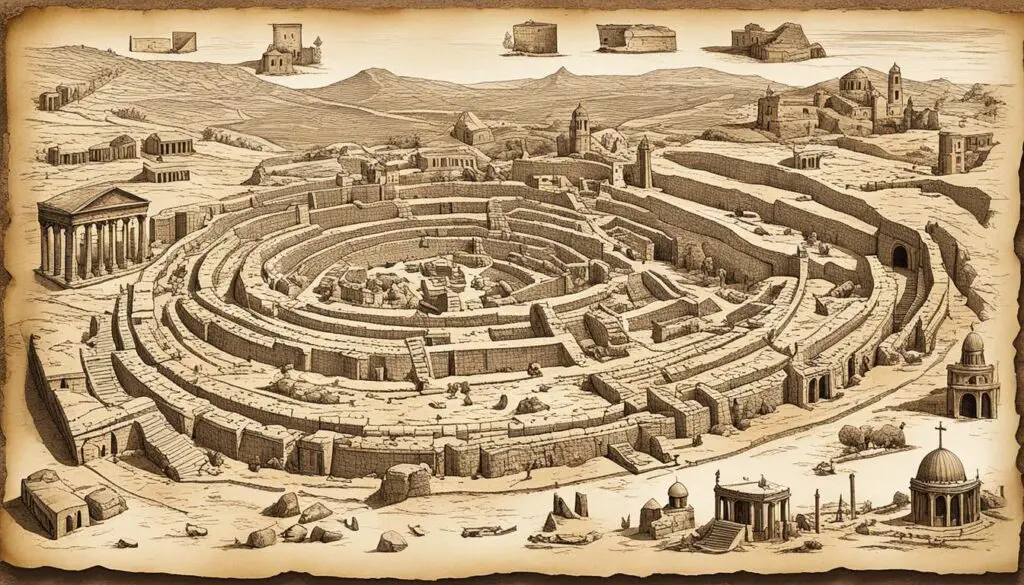
Archeological Sites in Biblical Maps
| Archeological Site | Correct Bible Name |
|---|---|
| Bethsaida | Julias |
| Jericho | Jericho |
| Jerusalem | Jerusalem |
Through the accurate representation of archeological sites in Bible maps, we gain a deeper understanding of the historical and cultural context in which the biblical stories took place. It allows us to visualize the cities and landmarks mentioned in the Bible, bringing the narrative to life.
Archeology provides the missing pieces of the puzzle, allowing us to piece together the intricate details of biblical geography and history.
By combining the precision of archeology with the visual representation of Bible maps, we can explore the world of the Bible with greater accuracy and appreciation. These maps serve as valuable resources for scholars, students, and anyone seeking a deeper understanding of the biblical narrative.
Free Bible Maps Resources
Looking for high-resolution, accurate Bible maps to enhance your study of the Scriptures? Look no further! There are several free resources available online that provide a wide range of detailed and reliable maps covering various periods and events in biblical history.
Old Testament Maps
These free downloadable maps focus on the geographical locations mentioned in the Old Testament, allowing you to explore the ancient lands and better understand the context of biblical events.
New Testament Maps
Discover the places where Jesus and the apostles walked with these free New Testament maps. Gain insights into the journeys and ministry of Jesus, the expansion of the early church, and the major cities of the Roman Empire.
Chronological Timelines
Visualize the historical timeline of the Bible with these chronological timelines. From the creation of the world to the end times, these timelines help you understand the sequence of events and their significance in biblical history.
| Features | Benefits |
|---|---|
| Accurate and Detailed Maps | Provide precision in studying the geographical settings of biblical events |
| High-Resolution Images | Allows for clear visualization and examination of map details |
| Easy Download and Access | Conveniently obtain maps for personal use, church presentations, or Bible studies |
“Using these free Bible maps resources, you can take your study of the Scriptures to a whole new level. Whether you’re a student, teacher, or just someone who loves diving deep into biblical history, these maps will provide accurate and detailed visual aids that bring the biblical narrative to life.”
Don’t miss out on these valuable resources! Take advantage of the opportunity to explore the geographical terrain and historical backgrounds of biblical places with these free downloadable maps.

Benefits of Using High-Quality Bible Maps
Using high-quality Bible maps offers numerous benefits to enhance your understanding of the Bible and gain valuable insights into the biblical narrative. These maps provide accurate visual representation of the locations mentioned in the Bible, allowing you to:
- Enhance Your Understanding: High-quality Bible maps help you visualize the routes of travel and the distances between places mentioned in the biblical narrative. By seeing the geographical context of biblical events, you can gain a deeper understanding of their significance.
- Accurately Visualize the Biblical Narrative: With high-quality maps, you can accurately visualize the locations where biblical events took place. This helps in creating a mental image of the settings, making the biblical stories come alive.
- Gain Better Context: High-quality Bible maps provide a better context for biblical events by showcasing the geographical features, topography, and surrounding areas. Understanding the physical environment surrounding biblical events enriches your interpretation and appreciation of their historical significance.
By using high-quality Bible maps, you can enhance your Bible study experience, gain a deeper appreciation for the historical and geographical context of the Bible, and develop a more comprehensive understanding of the biblical events.
Importance of Accurate Chronology in Bible Maps
Accurate chronology plays a vital role in creating reliable Bible maps. It allows us to date historical events and establish a timeline that aligns with biblical accounts. By incorporating precise chronology into Bible maps, we can ensure that events are placed in the correct order and context, providing a more accurate understanding of the biblical narrative.
The accurate chronology helps us visualize the sequence of events, allowing the biblical accounts to come alive. It enables us to see how different historical periods overlap and how people and places are interconnected throughout biblical history. With accurate chronology in place, Bible maps become an invaluable tool for studying and interpreting the historical timeline of the Bible.
“The accurate chronology of the Bible breathes life into its stories, allowing us to walk in the footsteps of our ancestors and gain a deeper appreciation for their experiences.”
By studying the precise chronology portrayed in Bible maps, we can uncover the historical contexts in which biblical events took place. This understanding enriches our interpretation of the Bible, deepening our insight into the lives and experiences of the biblical figures.
Furthermore, accurate chronology in Bible maps helps us establish a foundation for historical dating and research. It provides a framework for scholars and researchers to study the Bible’s historical accuracy and validity. When the timeline is aligned, it reinforces the credibility of the biblical accounts and their coherence with historical records.
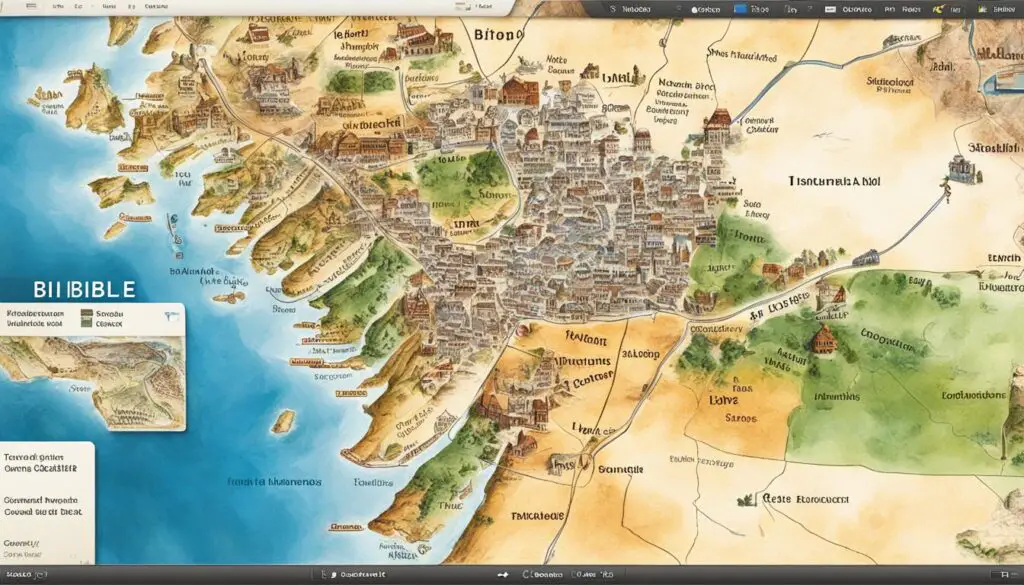
For a visual representation of the accurate chronology in Bible maps, take a look at the following image:
As you can see, the image illustrates the chronological progression of events in the Bible, highlighting the precision in timeline mapping.
Conclusion
In conclusion, Bible maps play a crucial role in enhancing your Bible study journey. They provide valuable insights into the geographical context of the biblical narrative, allowing you to visualize the journeys, locations, and lands of biblical times. By incorporating high-quality and accurate Bible maps into your studies, you can gain a deeper understanding of the Bible and enrich your study experience.
With the help of Bible maps, you can explore the routes travelled by biblical figures, understand the topography that influenced their actions, and identify borders between nations. These maps provide valuable geographical and background information that brings the biblical narrative to life, enabling you to connect with the stories and events on a more comprehensive and contextual level.
By utilizing the power of Bible maps, you can enhance your study of the Bible and gain a deeper appreciation for the historical and geographical context of the scriptures. Whether you are a student, a pastor, or simply a curious learner, the use of Bible maps is instrumental in expanding your knowledge and understanding of the Bible.


